


Redakcja
Nowa
Młodzieżowa Rada Miasta mówi „stop ...
18
kwi
2024
Więcej
Przejdź do menu głównego.
Przejdź do treści.
Przejdź do wyszukiwarki.
Uruchom wysoki kontrast.
Uruchom wersję tekstową.
Skróty klawiszowe:
Strona wykorzystuje pliki cookies.
Dowiedz się więcej...


Wysoki kontrast.
Wysoki kontrast.
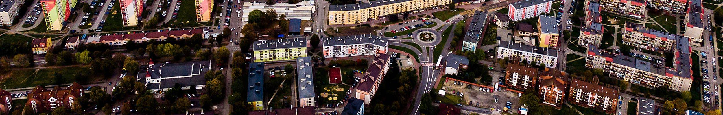
Oficjalna strona internetowa Urzędu Miejskiego w Zawierciu. Strona wyposażona w automatycznego lektora treści. Usługa lektora dostępna jest z poziomu poszczególnych podstron.
Wersja dla niesłyszących.
From Zawiercie railway station you can start on your journey through Jura on foot. Marked tourist routes make it possible.
Main Jurassic Route of the “Eagles’ Nest”
Interesting cycling routes
Redakcja
Nowa
18
kwi
2024
Więcej

Redakcja
Nowa
16
kwi
2024
Więcej
Redakcja
Nowa
16
kwi
2024
Więcej

Redakcja
Nowa
15
kwi
2024
Więcej

Redakcja
Nowa
11
kwi
2024
Więcej

Redakcja
Nowa
9
kwi
2024
Więcej
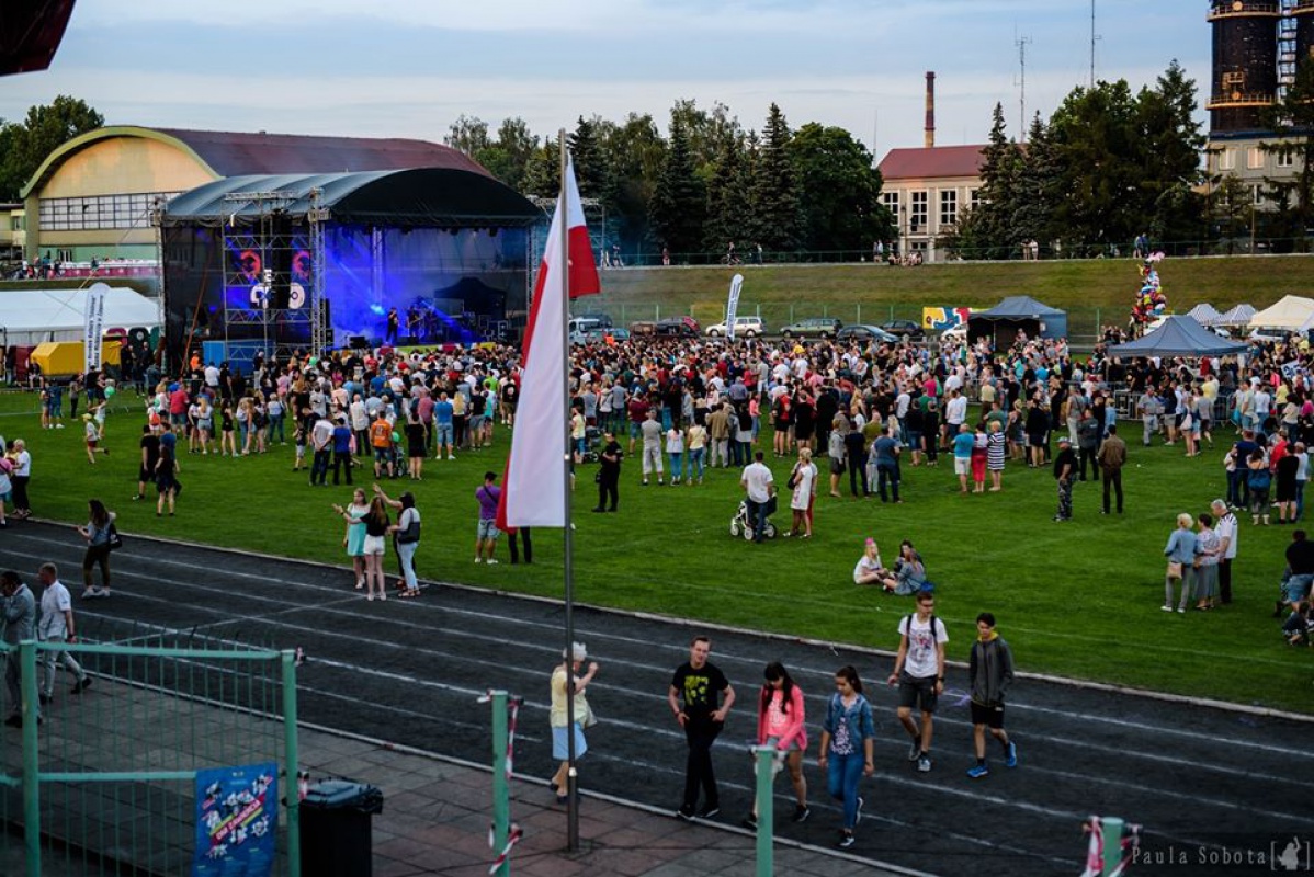
Dni Zawiercia 2019
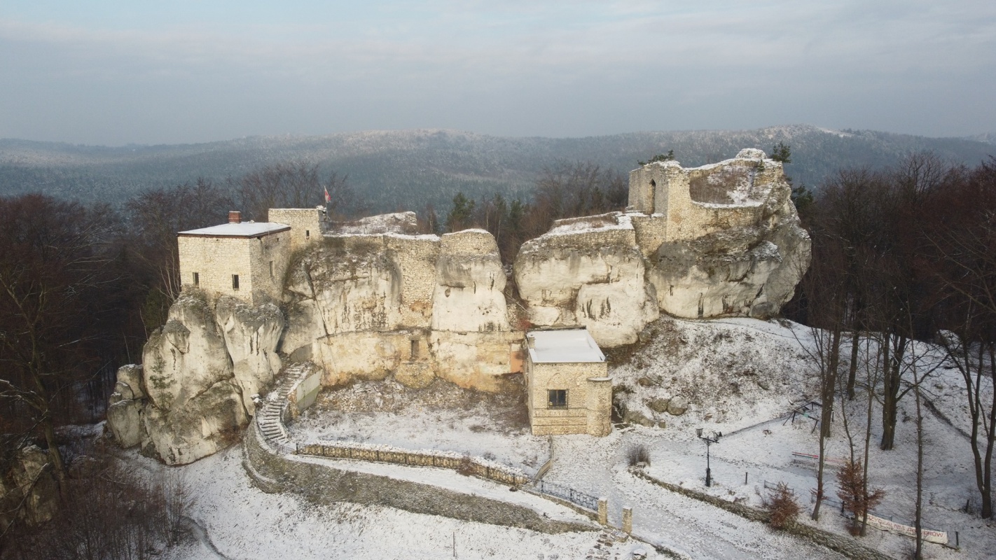
Zamek Bąkowiec w Skarżycach
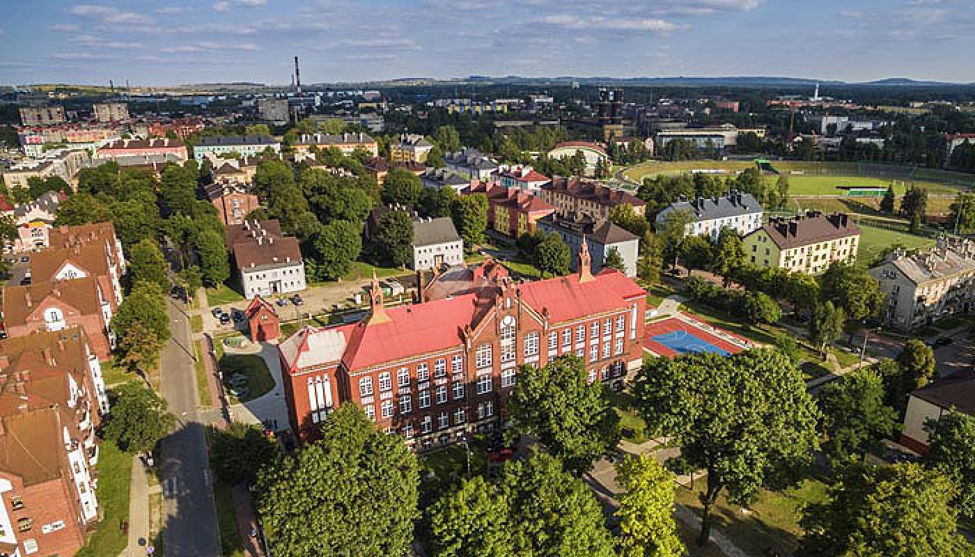
Szkoła Podstawowa nr 2
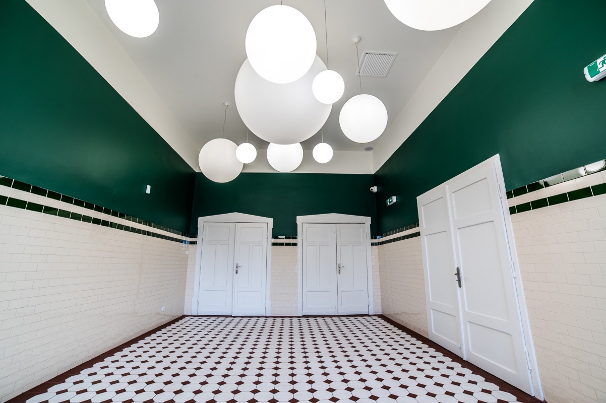
Galeria Stara Łaźnia
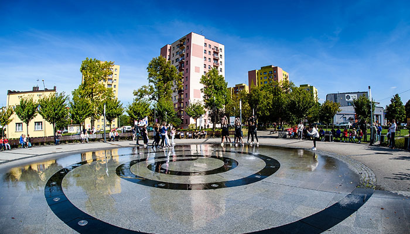
Plac im. Św. Jana Pawła II
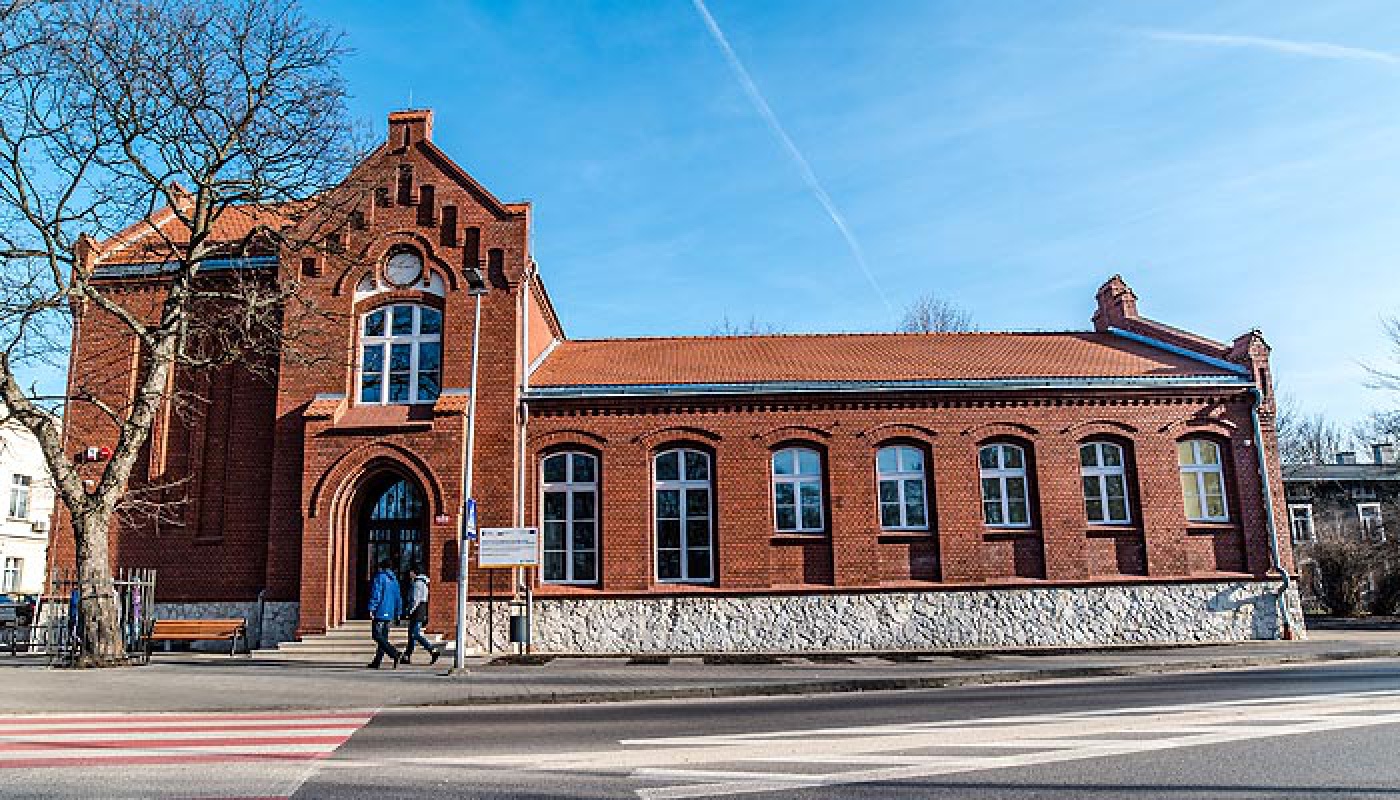
Galeria Stara Łaźnia
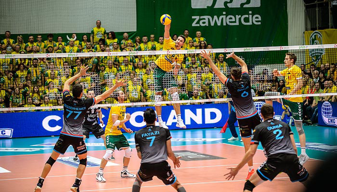
Mecz Plusligi
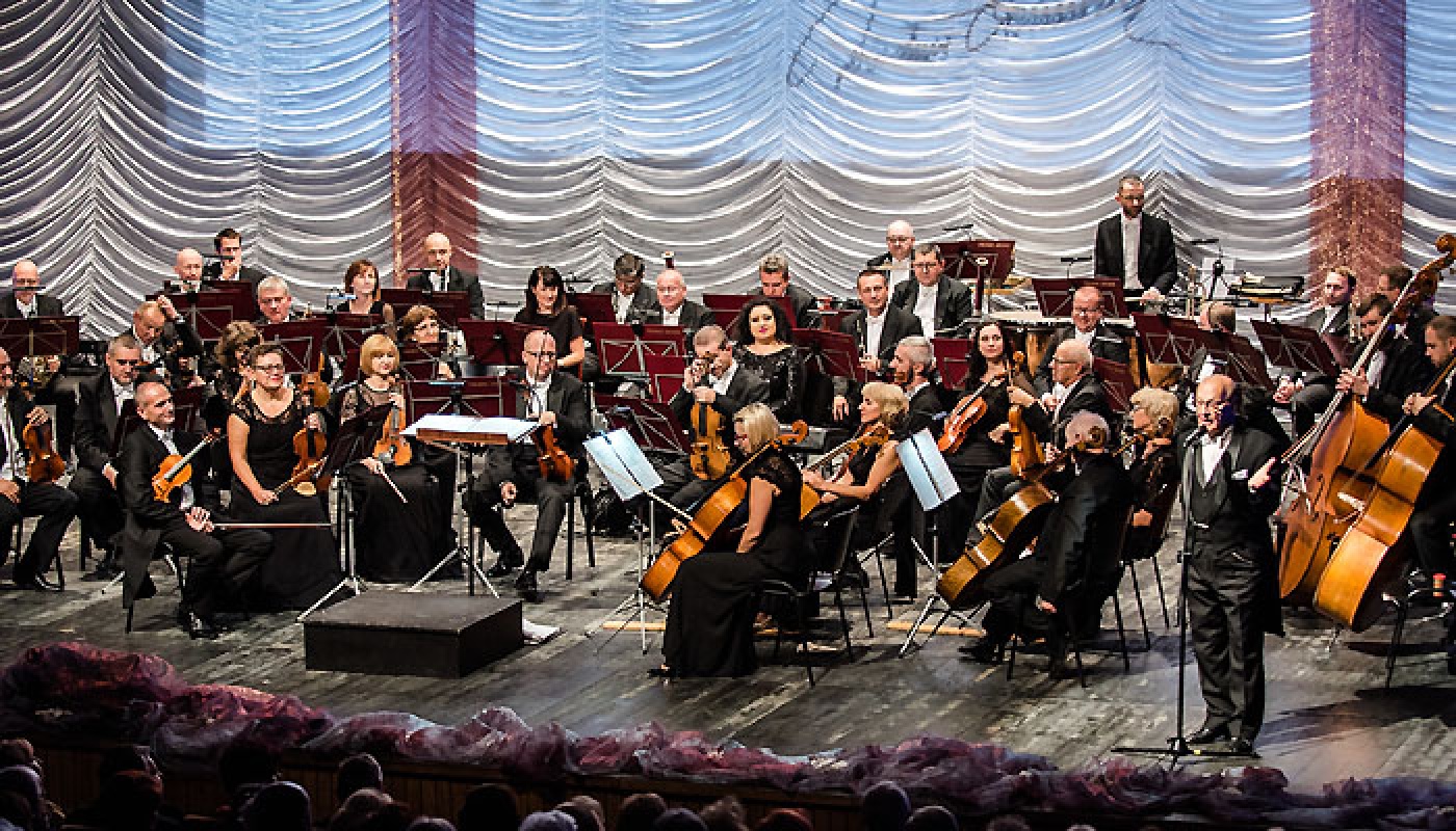
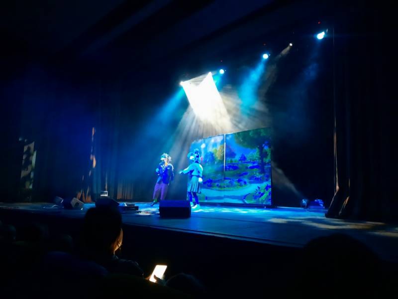
Festiwal Wiesława Ochmana
Przewiń stronę na samą górę.
Wyszukaj na stronie
Twoja przeglądarka internetowa, bądź system operacyjny, nie wspierają lektora w polskiej wersji językowej.